Gravity / Microgravity
Email us: consultant@seisxploregeosurvey.com or phone/WA: +62 821 7211 1561
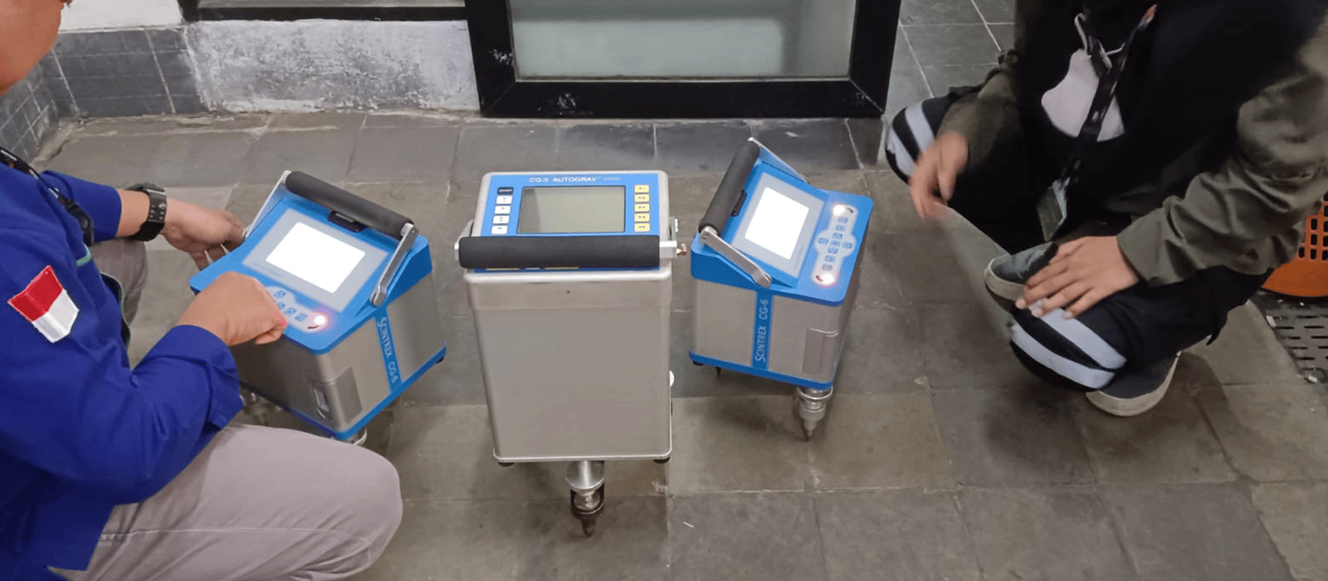
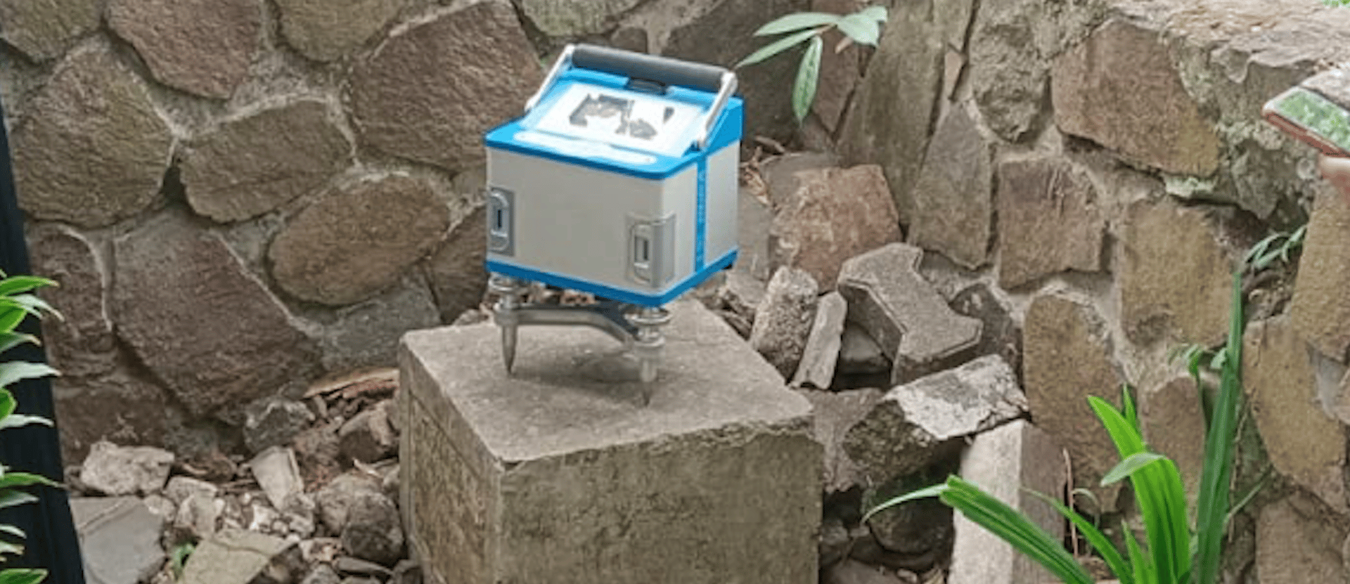
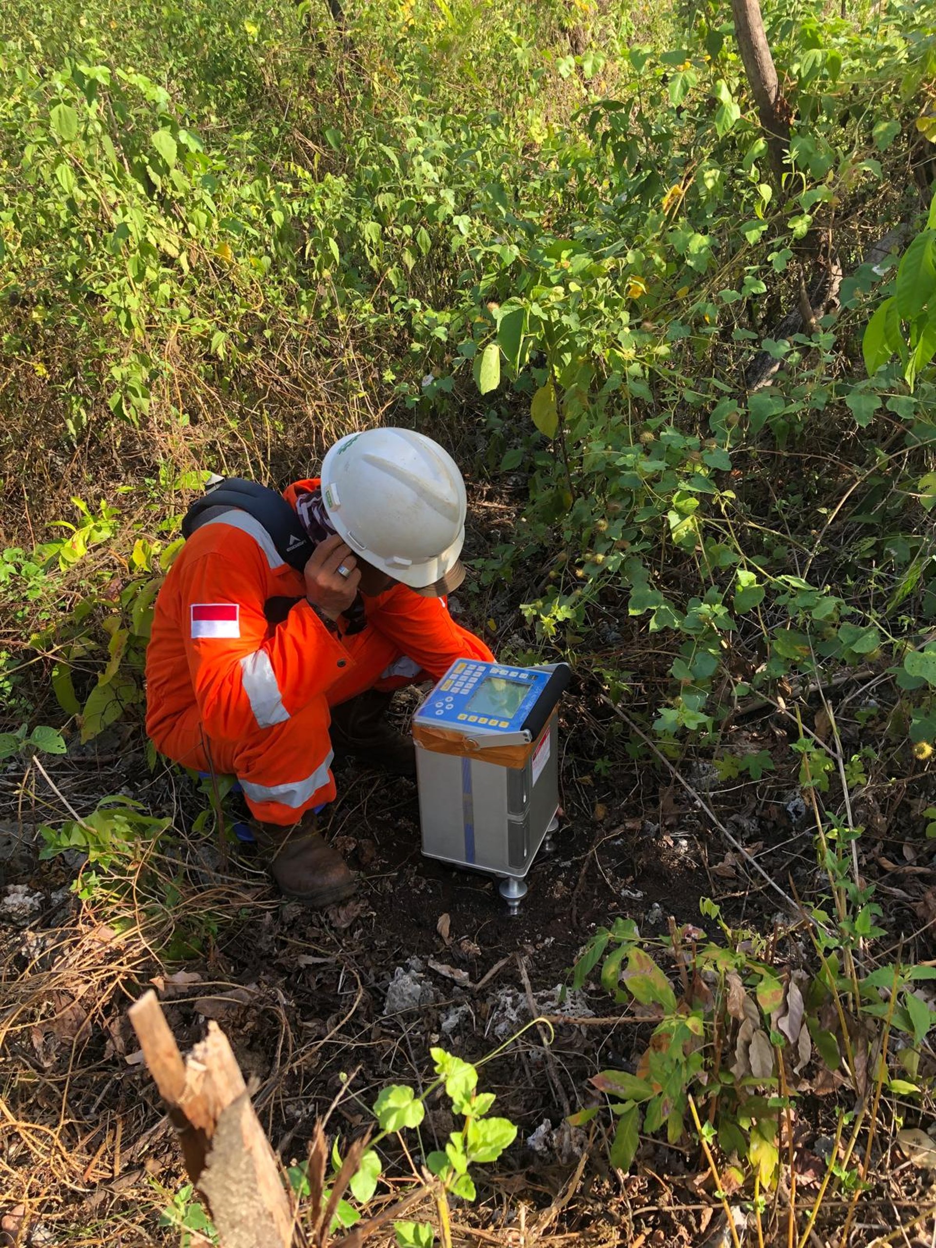
Gravity surveys are widely used for oil and gas exploration. The constraints seismic surveys face when mapping basements whose depths often cannot be profiled by seismic data. Gravity itself maps the basement by assuming the density of the rock above it is lower than the density of the basement itself, it can indeed be distinguished from gravity data through the difference in density. Modelling the basement and the formation above it can be done by approaching the formation above it and using regional data for density done through drill samples. Lateral Gravity modelling will describe the subsurface shape of the basement and each formation so that the syncline area and anticline area below the surface can be seen so that the identification of source rock and its continuity can be described. This model approach can be supported by additional data to ensure the corrections obtained from gravity data inversion when determining the depth and thickness of each formation.
Gravity data modeling is performed to achieve the following objectives:
1. Determine the density distribution of subsurface topography on both regional and local scales (microgravity).
2. Map the surface area of synclines and anticlines within each formation on a stratigraphic scale.
3. Identify and delineate subsurface geological structures, including fault and stratigraphic modeling.
4. Create a model of the basement structure.
5. Define the boundaries of prospective areas using well data for validation.
6. Model 2-D and 3-D formations, incorporating supporting data such as seismic data, well logging, and stratigraphy.
7. And other related analyses.
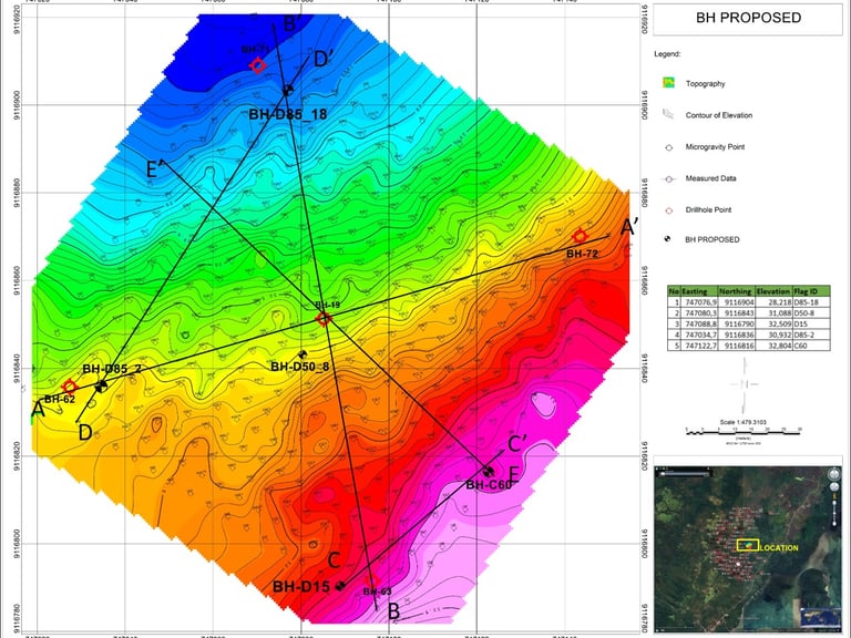

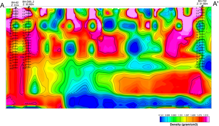

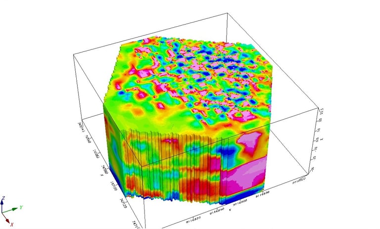

Figure 1. 3D model of microgravity data
Figure 2. Section Area
Figure 3. Vertical slice of the microgravity data model
